Find Property Records in Uintah County
Uintah County property records are maintained by the County Recorder at 147 East Main Street in Vernal. The office holds land records going back to 1894, including deeds, mortgages, liens, mining claims, and oil and gas instruments. This guide covers how to search Uintah County property records online and in person, which state and federal tools are available, and where to find deep historical records for this eastern Utah county.
Uintah County Quick Facts
Uintah County Recorder's Office
The Uintah County Recorder is the official keeper of real property records for the county. The office records and indexes deeds, mortgages, trust deeds, liens, easements, plat maps, surveys, and mining claim documents. It also handles instruments tied to oil and gas interests, which are a significant part of the recorded document inventory in this part of Utah. For any Uintah County property records search, the Recorder's office in Vernal is the primary source.
Land records in Uintah County date back to 1894. That is a substantial archive covering more than 130 years of property transactions in the Uinta Basin. For routine searches on recent transactions, the county website at co.uintah.ut.us is a good starting point. For older research going back decades, you may need to combine the county's index with state and federal resources described later in this guide.
| Office |
Uintah County Recorder 147 E Main St Vernal, UT 84078 Phone: (435) 781-0770 |
|---|---|
| Website | co.uintah.ut.us |
When visiting in person, bring any document numbers or parcel identifiers you have. Staff can help locate instruments in the index, but having a parcel number, grantor name, or approximate recording date speeds up the search considerably. For certified copies needed in legal or financial transactions, confirm the current fee schedule with the Recorder's office before submitting your request.
Oil, Gas, and Mining Records
Uintah County sits in the Uinta Basin, one of Utah's primary oil and gas producing regions. That means a large share of the recorded documents in the Recorder's index involve mineral interests. You will find oil and gas leases, royalty assignments, unit agreements, pooling orders, and related instruments recorded alongside standard real property deeds and mortgages. If you are researching a Uintah County parcel, it is worth checking for mineral-related instruments even if your primary interest is the surface estate.
Mining claim records are also part of the Recorder's index. Mining claims recorded in Uintah County include both active and abandoned claims that may still affect title to surface parcels in areas with historic mineral activity. For federal mining claims on BLM land in Uintah County, the BLM LR2000 database at glorecords.blm.gov provides federal land status records and original patents for land that was once federal public domain before being transferred to private ownership.
Oil and gas division orders and production unit records may also appear in the Recorder's index. These are often relevant when mineral rights are severed from the surface estate, a common situation in Uintah County where decades of energy development have created complex ownership structures. A complete title search for a Uintah Basin parcel often covers both surface and subsurface interests, and both may have separate recorded chains.
Uintah County Assessor
The Uintah County Assessor values all real property in the county for taxation purposes. The Assessor's office assigns assessed values to parcels, classifies property types, and maintains records of ownership as reflected in the Recorder's index. If you need current assessed value data or want to look up a parcel by address for tax purposes, the Assessor is the right contact at the county building in Vernal.
You can also access Uintah County parcel values through the Utah State Property Values tool at propertyvalues.utah.gov. This statewide portal is maintained by the Utah State Tax Commission and covers all 29 Utah counties. It lets you search by address or parcel number and see assessed value, tax rate, and property classification data without contacting the county office directly.
GIS Parcel Data and Maps
The Utah Geospatial Resource Center at gis.utah.gov maintains statewide parcel data including Uintah County boundaries, parcel maps, and downloadable GIS datasets. This is useful when you need to see where a parcel sits on the ground, identify neighboring parcels, or work with spatial data for boundary or easement research. The GIS data shows parcel lines, acreage, and basic ownership attributes for Uintah County properties.
The Utah Geographic Information Council portal at gis.utah.gov offers parcel map data for Uintah County that can be viewed online or downloaded for use in research and mapping projects.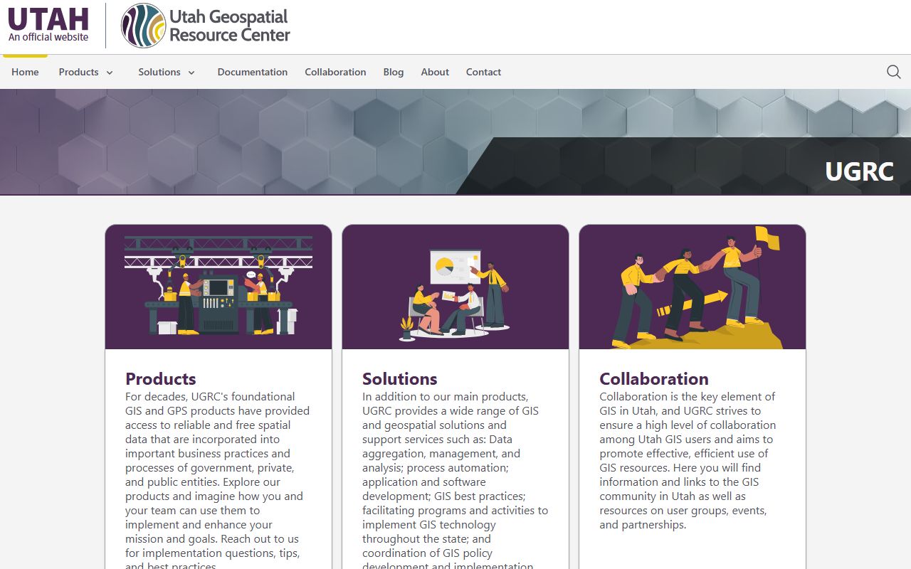 The statewide GIS portal complements the Recorder's document index by showing where Uintah County parcels are physically located and how they relate to neighboring properties.
For large rural parcels in Uintah County, GIS mapping is particularly helpful because many properties have complex legal descriptions tied to the Public Land Survey System (PLSS). Matching a deed's section, township, and range description to the actual parcel boundaries on the ground is easier with the GIS parcel layer than with a text description alone. This is especially true for older parcels with multiple conveyances and boundary adjustments over the years.
Historical Land Records and FamilySearch
For Uintah County land records from the late 1800s and early 1900s, FamilySearch at familysearch.org holds a valuable collection. The Uintah County Land and Property Records 1888-2004 collection includes deeds, deed indexes, and mining claim records from that period. This is a free resource, and the collection is searchable by name and date range. For title researchers and genealogists tracing early Uintah Basin land ownership, this is one of the better indexed sources available online.
The collection covers the period from just before statehood through the early 2000s, which means it overlaps with the county Recorder's physical index for much of its range. For records before about 1930, FamilySearch may have images that are not available through the county's own digital system. If you are building a chain of title on an older Uintah County parcel, checking the FamilySearch collection alongside the Recorder's index is a smart approach.
The Utah Division of Archives at archives.utah.gov is another source for historical Uintah County property records. The Archives holds early deed books, plat maps, and other recorded instruments from Utah counties. Researchers working on pre-electronic records for Uintah County can submit requests through the Archives portal or visit the reading room in Salt Lake City.
The Utah Division of Archives at archives.utah.gov holds historical land records for Uintah County including early deed books and instruments recorded before the county's modern electronic index. Researchers tracing early Uintah County property ownership can request records through the Archives or visit the reading room in Salt Lake City for in-person access to older documents.
Recording Laws and Property Notice
Under Utah Code § 57-3-101, recording a document with the Uintah County Recorder gives constructive notice to all future buyers and lenders. Once a deed, lien, easement, or oil and gas lease is in the public record, the law treats everyone as having seen it. This matters a great deal in Uintah County, where mineral interest conveyances and energy leases are common. A buyer of surface rights needs to check the full index for mineral-related instruments, not just standard deed and lien records, to know the complete state of title.
Utah is a race-notice state. When two parties claim competing interests in the same Uintah County parcel, the party that recorded first and had no actual prior knowledge of the other's unrecorded claim generally has priority. Recording promptly after closing is the practical lesson from this rule. Delayed recording creates a window where a competing instrument could be filed first. In a county with active energy transactions and frequent mineral interest transfers, that window carries real risk.
Public Access Under GRAMA
Most Uintah County property records are public under Utah's Government Records Access and Management Act, Utah Code § 63G-2. Any person can request to inspect deeds, liens, plat maps, and other recorded instruments without giving a reason. You can review records at the Recorder's counter for free. Fees apply when you want paper or digital copies to take with you.
GRAMA gives Uintah County 10 business days to respond to a records request. For routine property records, response times are often faster. The right to access covers recorded instruments that are public documents by nature. If a request is denied, you can appeal through the county and then to the Utah State Records Committee. For most property records searches in Uintah County, denial is not an issue since the requested records are standard public documents.
Nearby Counties
Uintah County borders Duchesne, Grand, and Wasatch counties. For parcels near a county boundary, confirm the correct recording jurisdiction in the legal description before requesting records from Uintah County.